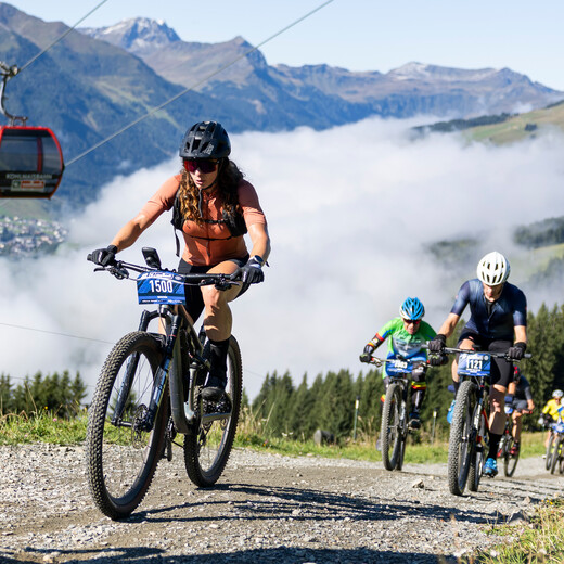
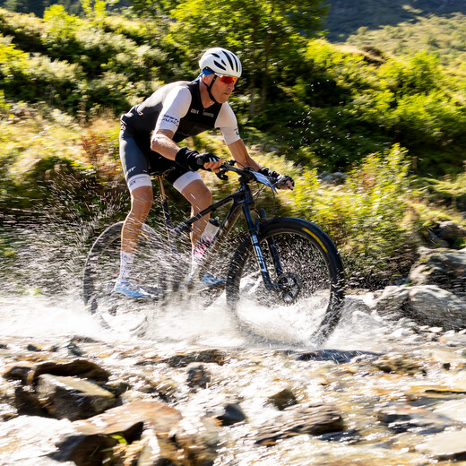
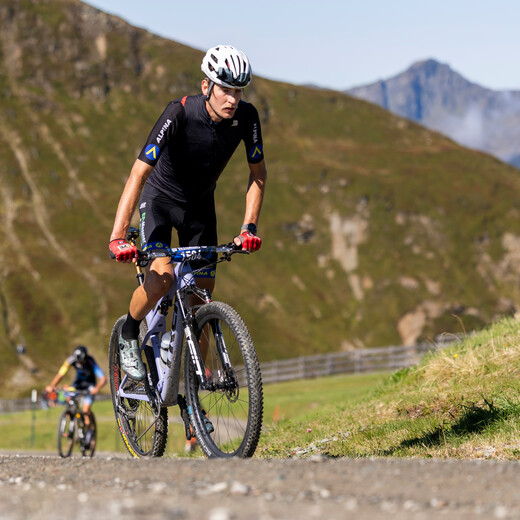
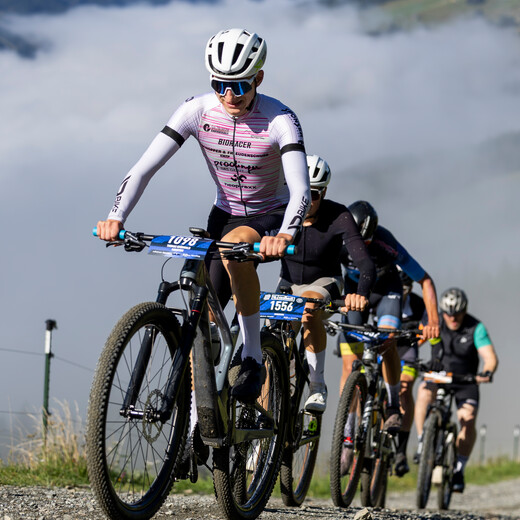
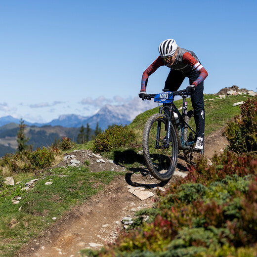
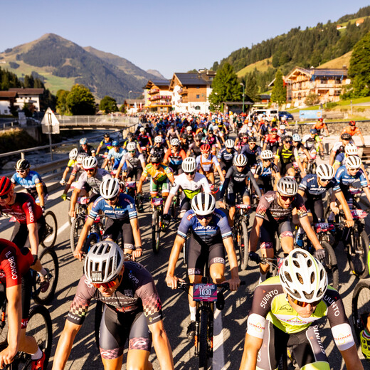
World Games of Mountainbiking Saalbach Hinterglemm | © Martin Steiger World Games of Mountainbiking Saalbach Hinterglemm | © Martin Steiger

The World Games Marathon

Interactive world games map

Track information

Live Results

Live Leaderboard (Top 25 per discipline)

THE MARATHON-DISTANCES


Something very special about the World Games of Mountainbiking Marathon is that after the mass start of all participants you can decide which distance you will participate in during the race. This means that you can be flexible in changing your plans and attempt either a shorter or longer distance. Of course you can also make your decision in advance. Please find the track plans and altitude profiles of the whole route and various distances below:


the distances:

  • MA 21 with 780 meters of altitude
  • MA 31 with 967 meters of altitude
  • MA 42 with 2.040 meters of altitude
  • MA 58 with 3.005 meters of altitude
  • MA 80 with 3.720 meters of altitude
Tips for spectators

Spectators are cheering at the finish area and at the highest points of the track: The Eastern & Western summit of the Schattberg and the Zwölferkogel.


SPECTATORS SPECIAL 

Special price for single ride with the Schattberg X-press, Westgipfellift & 12er KOGEL.


Race details Marathon

For the Marathon 80 & 58 a time limit will be  fixed (13:30 hours - Hacklbergalm).  Those who go over this time limit will automatically be entered into the 42 km marathon. A second time limit will be set for the Marathon 80 at the Zwölferkogel (14:30 h - Zwölferkogel Mitte). Those who go over this time limit should continue participating in the 58 km Marathon.


Age categories MARATHON:

  • Rookies Girls/Boys (2010 - 2011) - only MA 21!
  • Youth Women/Men  (2007 – 2009) - no start at MA 80!
  • Expert Women/Men (1996 – 2006)
  • Senior Expert Women/Men (1986 - 1995)
  • Master Women/Men (1976 - 1985)
  • Senior Master Women/Men (1975 and older)
  • Handicapped (independent of age in MA 21 and MA 31)

Handicap Evaluation MA 21 and MA 31

Participants with C1 or C2 classification will receive a 10% time credit.


Subject to be changed!

starter Package & Price 

 
Package: € 60,00
  • Bib Number, cable ties
  • World Games T-Shirt
  • Starting fee
  • Trackside catering
  • 1 x Food Voucher
  • Racemap & elevation profile, announcement / regulations

Registration deadline

Saturday, 6th September, 08.00 h


Start Marathon: 

Saturday, 6th September, 09.00 h

WORLD GAMES OF MOUNTAINBIKING MARATHON BRIEFING 2025


  • Neutralised START for all distances: Height Bundesschullandheim (Dorfstraße 28, 5754 Hinterglemm)
  • NEW: The popular Marathon 31 is back
  • Ride with the guide vehicle (30km/h) along the L111 to Saalbach 
  • START on the shot for all marathon distances on the bridge in the village centre of Saalbach
  • For all distances ride towards Spielberghaus

1.     Via Finsterbach on the Bernkogel

2.    Refreshment station

3.    Do NOT ride on the top of the dam of the Wetterkreuz reservoir

4.    Take the forest path below the Wetterkreuz reservoir.

5.    ATTENTION Sharp right turn below the reservoir.

6.    Continue towards Reiteralm and Wieseralm

7.    Continue via Pfefferweg down into the valley

8.    Just before Pfefferbauer, turn sharply left across the meadow towards the village center of       
        Hinterglemm

9.    Into the finish area: keep to the right


  1. Continue via Spielberghaus to Wirtsalm and on to Panoramaalm
  2. Afterwards in the direction of Thurner Alm / Berger Alm and down via the Bergkreuzweg forest road into the valley
  3. Just above the Thurnerhof access to the farm
  4. ATTENTION: A transition from asphalt to gravel in the curve
  5. Continue via Sonnseitpromenade to the Jausern district to the Schönleitenbahn
  6. Refreshment station
  7. Once around the base station of the Schönleitenbahn
  8. Along the promenade towards Hinterglemm
  9. At the level of Mitteregg, pass behind the Wieshof and up the climb to the Höhenweg (high trail)
  10. Continue towards the Westgipfelbahn bottom station
  11. Follow the course to the finish
  12. Into the finish area: keep to the left
  1. Continue via Spielberghaus to Wirtsalm and on to Panoramaalm
  2. Afterwards in the direction of Thurner Alm / Berger Alm and down via the Bergkreuzweg forest road into the valley
  3. Just above the Thurnerhof access to the farm
  4. ATTENTION: A transition from asphalt to gravel in the curve
  5. Continue via Sonnseitpromenade to the Jausern district to the Schönleitenbahn
  6. Refreshment station
  7. A difficult and steep ascent to the Schattberg Ostgipfel
  8. Refreshment station
  9. A short stretch along the X-Line to the turn-off towards Schattberg Westgipfel
  10. Steep and difficult ascent
  11. At the height of the top station of the Westgipfelbahn access to the Hacklberg Trail
  12. Technical SINGLETRAIL
  13. Arrive at Hacklbergeralm / below the route splits for Marathon 42 and Marathon 58, 80
  14. Descend via the forest road to Bergstadl / Westgipfel middle station
  15. Access to the Buchegg Line at the Westgipfel Middle Station
  16. Buchegg Line to Gerstreit Alm
  17. Remain on the trail and carry on down into the valley
  18. Follow the course to the finish
  19. Into the finish area: keep to the left


  1. Continue via Spielberghaus to Wirtsalm and on to Panoramaalm.
  2. Then in the direction of Thurner Alm / Berger Alm and down via the Bergkreuzweg forest road into the valley.
  3. Just above the Thurnerhof  access to the farm.
  4. ATTENTION: A transition from asphalt to gravel in the curve.
  5. Continue via Sonnseitpromenade to the Jausern district to the Schönleitenbahn
  6. Refreshment station
  7. A difficult and steep ascent to the Schattberg Ostgipfel
  8. Refreshment station
  9. A short stretch along the X-Line to the turn-off towards Schattberg Westgipfel
  10. Steep and difficult ascent
  11. At the height of the top station of the Westgipfelbahn, access to the Hacklberg Trail.
  12. Technical SINGLETRAIL
  13. Arrival at Hacklbergeralm / below the route splits for Marathon 42 and Marathon 58, 80
  14. Continue via the Huber Hochalm to the Huberalm down the valley
  15. ATTENTION: After arrival in the valley (approx. 300 m) there is a short stretch of oncoming traffic.
  16. Continue via the Ellmaualm to the Seekar
  17. Refreshment station
  18. Very steep climb after the Ellmaualm
  19. After the top station of the Seekar T-bar lift, descend again via the Steinkar to the main forest trail in the direction of the Zwölferkogel.
    Zwölferkogel / 12er KOGEL cable car top station
  20. Refreshment station
  21. Marathon 58 and 80 down via Breitfuß Alm to the split below the Zwölferkogeln reservoir
  22. Via the forest road down into Schwarzachergraben
  23. ATTENTION: oncoming traffic area (see Marathon 80)
  24. Continue along the wide forest road to the bridge and the ascent to the Gerstreitalm
  25. Uphill along the asphalt road to Gerstreitalm
  26. Shortly before the Gerstreitalm make a turn into the trail / line
  27. Stay on the trail and into the valley
  28. Follow the course to the finish
  29. Into the finish area: keep to the left

1.     Continue via Spielberghaus to Wirtsalm and on to Panoramaalm

2.     Afterwards continue in the direction of Thurner Alm / Berger Alm and down via the Bergkreuzweg forest road back into the valley

3.     Just above the Thurnerhof access to the farm

4.     ATTENTION: A transition from asphalt to gravel in the curve

5.     Continue to the Jausern district and the Schönleitenbahn

6.     Refreshment station

7.     Difficult and steep ascent to the Schattberg Ostgipfel

8.     Refreshment station

9.     Short stretch along the X-Line to the turn-off towards Schattberg Westgipfel

10.   Difficult and steep ascent

11.    At the top station of the Westgipfelbahn access to the Hacklberg Trail 

12.   Technical SINGLETRAIL

13.   Arrival at Hacklbergeralm / below the dividing line between Marathon 42 and Marathon 58, 80

14.  Continue via Huber Hochalm to Huberalm in the valley

15.   After arrival in the valley short (approx. 300 m) - oncoming traffic

16.   Continue over the Ellmaualm in the Seekar

17.   Refreshment station

18.   Very steep climb after the Ellmaualm

19.   After the top station of the Seekar T-bar lift, continue to descend via the Steinkar to the main forest trail in the direction of the Zwölferkogel

        Zwölferkogel / 12er KOGEL cable car top station

20.  Refreshment station

21.   Marathon 58 and 80 down via Breitfuß Alm to the split below the Zwölferkogel reservoir.

22.  Keep to the left in the direction of travel

23.  IMPORTANT: Marathon 80 goes into the tunnel of the middle station of the 12er KOGEL cable car.

24.  Marathon 80 heads into the Z-line

25.  Technical SINGLETRAIL 

26.  Above the Wallride via forest road to the Wieserauberg and on to the Nordhalle

27.  Refreshment station

28.  Promenade towards the end of the valley

29.  Ascent Lindlingalm and via Ossmannalm the valley end loop

30. Out of the valley via the L111 to the Wallegg junction / people of the fire brigade

31.   Uphill to the Rosswaldhütte via Sonnhof

32.  At Rosswaldhütte continue below the new reservoir to the Reiterkogelbahn

33.  ATTENTION: Playing kids

34.  Descent via Pfefferweg down into the valley

35.  Just before Pfefferbauer, turn sharply left across the meadow towards the village center of       
        Hinterglemm

36.  Into the finish area: keep to the right

Subject to change!