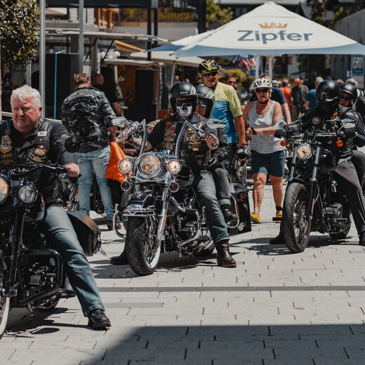
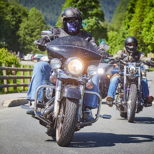
On this page we put together non-binding tour suggestions. Instead of guided tours, we focus on individuality and spontaneity. No fixed times, no registration, just fun on two wheels in the impressive landscape around Saalbach Hinterglemm.
Joint Trip Pass Thurn
- Distance: approx. 170 km
- Duration: approx. 2:50
- Highlights: Mountain Roads & Panorama
- Route: Hinterglemm → Zell am See → Mittersill → Paß Thurn → Kitzbühel → Waidring (Break at the Schindldorf) → St. Ulrich am Pillersee → Fieberbrunn → Leogang → Saalfelden → Hinterglemm
- Google Maps Route
Joint Trip Hochkönig
- Distance: approx. 160 km
- Duration: approx. 2:50
- Highlights: Mountain Roads & Panorama
- Route: Hinterglemm → Zell am See → Lend → Dientner Sattel → Bischofshofen → Schwarzach → Filzensattel → Saalfelden → Maishofen → Hinterglemm
- Google Maps Route
Joint Trip Maria Kirchental
- Distance: approx. 132 km
- Duration: approx. 2:30
- Highlights: Pilgrimage church & Alpine panorama
- Route: Hinterglemm → Leogang → Fieberbrunn → St. Ulrich → Waidring → Maria Kirchental → Saalfelden → Saalbach → Hinterglemm
- Google Maps Route
Joint Trip Großarl
- Distance: approx. 195 km
- Duration: approx. 3:30
- Highlights: Pure Nature & Small Roads
- Route: Hinterglemm → Zell am See → St. Johann → Großarl → Bischofshofen → Mühlbach → Filzensattel → Maishofen → Saalbach → Hinterglemm
- Google Maps Route
Joint Trip Großglockner High alpine road
- Distance: approx. 220 km
- Duration: approx. 4:00
- Highlight: Grossglockner High Alpine Road (toll road - discount with the JOKER CARD), Edelweissspitze & Kaiser-Franz-Josefs-Höhe
- Route: Hinterglemm → Zell am See → Bruck → Ferleiten → Edelweißspitze → Hochtor → Kaiser-Franz-Josefs-Höhe → Heiligenblut → Hinterglemm
- Google Maps Route
Joint Trip Talmuseum Hüttschlag
- Distance: approx. 195 km
- Duration: approx. 3:30
- Highlights: Curvy ride & museum stop
- Route: Hinterglemm → Maishofen → Zell am See → St. Johann → Großarltal → Gasthaus Talmuseum → Bischofshofen → Mühlbach → Maria Alm → Saalfelden → Hinterglemm
- Google Maps Route
Joint Trip Loferer Steinplatte
- Distance: approx. 130 km
- Duration: approx. 2:30
- Highlight: 1020 m above sea level & mountain panorama
- Route: Hinterglemm → Saalfelden → Leogang → Hochfilzen → Wiesensee → St. Ulrich → Waidring → Lofer → Steinplatte → St. Martin → Saalfelden → Hinterglemm
- Google Maps Route
Joint Trip Krimmler Wasserfälle
- Distance: approx. 175 km
- Duration: approx. 3:20
- Highlights: Krimml Waterfalls, Gerlosplatte & Durlaßboden reservoir
- Route: Hinterglemm → Zell am See → Wald im Pinzgau → alte Gerlosstraße → Gerlosplatte → Speichersee → Hotel Finkau → neue Gerlosstraße → Krimml → Hinterglemm
- Google Maps Route
Important: Please pay attention to possible road closures - there may be restrictions, especially on the B164 at the Dientner Sattel. Check the route in advance so that the route is just as relaxed as the view from the summit.


